Commercial roofing for Hampton and the Virginia Peninsula

Commercial roofing for Hampton and the Virginia Peninsula
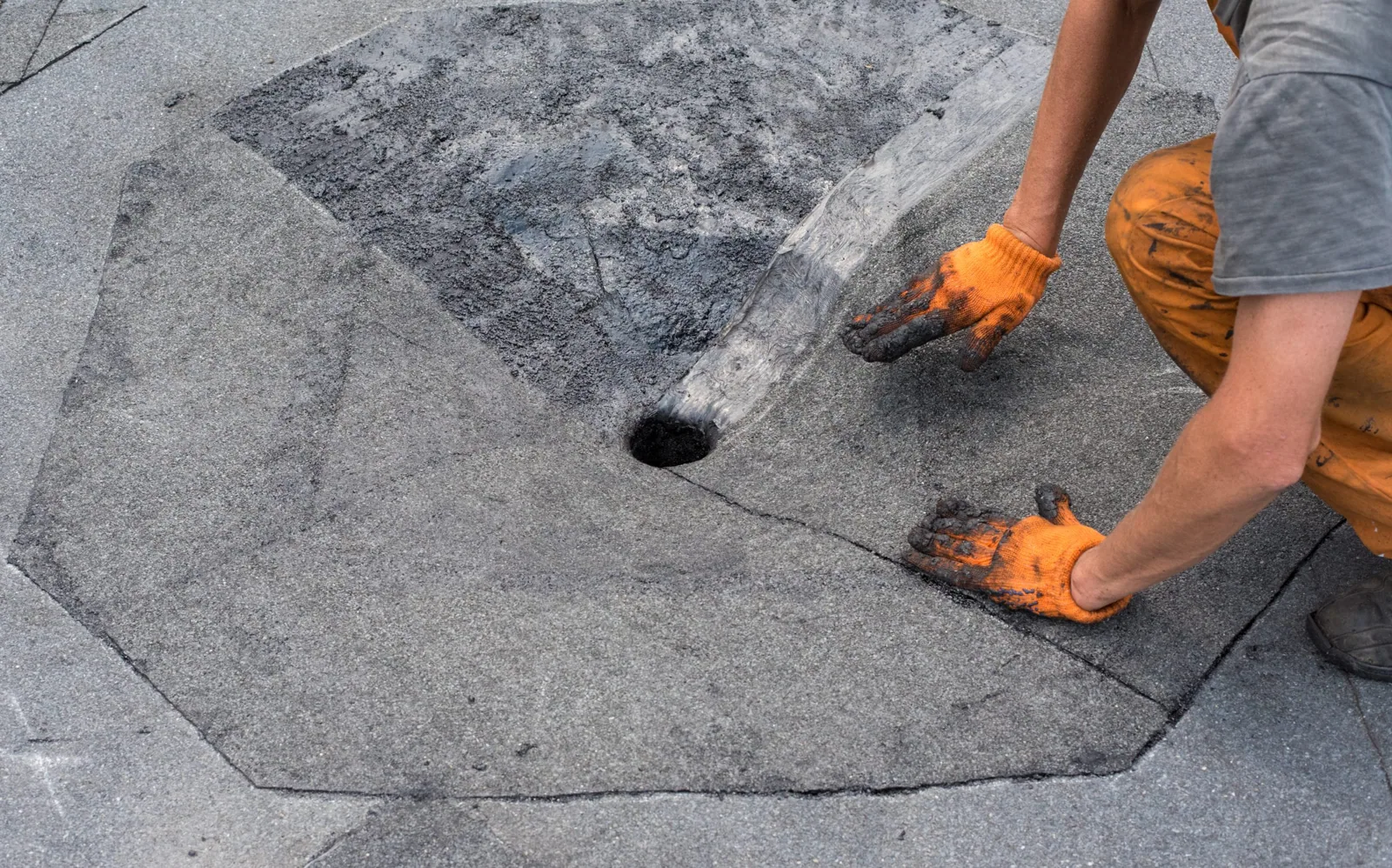
Aerial images can show the roof layout before a crew reaches every detail. We use drone capture to document broad surfaces, equipment clusters, drainage paths, and areas with difficult access, then relate those images to a hands-on inspection. The camera can help an asset manager understand what needs closer review; it cannot confirm concealed moisture, seam bond, or deck condition. In Hampton, where commercial buildings range from offices and research space to industrial and distribution uses, the inspection plan should fit the roof and the work happening below it.
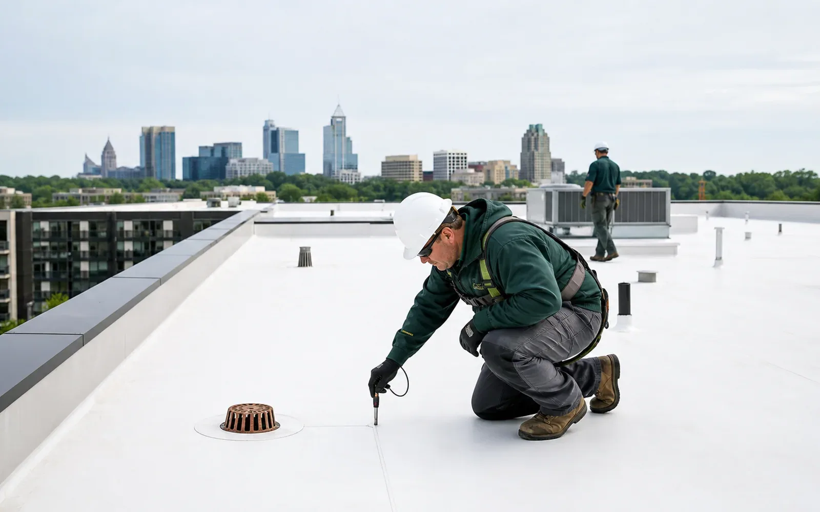
Before flight, we confirm the property contact, site rules, airspace and weather conditions, roof access, and the question the images should answer. The plan may focus on a hard-to-reach wing, a crowded equipment zone, a suspected drainage path, or a roof-wide condition record. Images without a defined purpose can create volume without helping the next decision.
We establish safe launch and landing areas and coordinate around people, vehicles, deliveries, and active operations. A building may require permission or a specific access window. Wind, precipitation, visibility, and nearby activity can change whether flight is appropriate. If conditions do not support useful capture, we reschedule rather than treating incomplete images as a full inspection.
Hampton’s business-park mix includes research, flexible offices, light manufacturing, warehousing, and distribution. Before drone capture, the owner identifies the roof areas needed, approved viewing angles, restricted zones, and any photography limits. The image set should answer a roof question instead of collecting unrelated site detail.
Images can record roof geometry, surface discoloration, visible patches, equipment placement, and apparent ponding or debris. A consistent set lets the owner compare areas and locate a detail for a closer look. We use reference points and flight paths suited to the roof so the final images are navigable rather than a collection of unrelated angles.
An image does not show whether a seam is bonded, insulation is wet, or a flashing is secure beneath its surface. Glare, shadows, texture, and camera angle can make a surface look different from the field. We mark conditions that need confirmation, then inspect the relevant detail on foot where safe. If moisture is the question, infrared imaging or targeted testing may offer better evidence.
We can pair a flight with a commercial roof inspection so visible patterns are checked against seams, edges, penetrations, and drains. If the question centers on an uncertain moisture area, a moisture survey may be appropriate after interpreting site conditions.
Capture is most useful when it answers a property question. An asset manager might need to locate equipment before a reroof, compare visible repairs across wings, or document a roof that cannot be walked in every area. We agree on a reference grid or roof-zone labels before flight and keep the final set organized by those names. A clear index can connect the overview to the close image and then to the field finding. If an image raises a new question, we state which hands-on check would resolve it rather than describing an uncertain pattern as confirmed damage.
Hurricane Isabel drove major storm surge into Hampton Roads in September 2003. For a current roof call, a broad image can orient the field crew to drainage routes and edge details; close inspection records what is visible at the specific property today.
Copeland Industrial Park sits near the I-64 and I-664 junction, while business parks at Hampton Roads Center connect with I-64 and Magruder Boulevard. A drone inspection starts with roof geometry, obstructions, weather, and any site-specific airspace restrictions. Before flight, we confirm required authorization and property access with the responsible contacts, then choose a safe path for the roof areas in scope.
At Copeland Industrial Park or Hampton Roads Center, coordinate capture timing with the site team. A deliverable can group images by roof area and attach each observation to the field follow-up it informs, without disrupting loading activity.
The image set should be labeled by roof area, date, and direction or reference point. We can group overview frames with closer images of drains, curbs, edge details, and visible repairs. The summary distinguishes what is directly visible from what needs hands-on confirmation. A photograph may support a repair recommendation, but the written scope explains the work and why it follows from the condition.
For an asset manager tracking several buildings, an orderly record can support a comparison of visible changes over time. It should not imply that a prior image proves a roof’s present condition. We note weather and capture limits where they affect interpretation, and flag areas that could not be safely viewed.
If the images reveal a visible puncture or displaced edge, we can schedule a repair inspection and confirm the detail from the roof. If the property needs a broader review, we can define the scope for replacement planning or preventive maintenance. Each action starts with field confirmation.
The handoff can include a short action list sorted by area: confirm a suspect detail, clear an outlet, photograph a repair, or schedule a closer roof walk. We note which items need immediate attention and which can be considered during routine budgeting. If the next step requires a test opening or repair, we describe the access and protection needed before work starts. This keeps the image record useful after the flight is over.
Drone capture is short compared with a full roof walk, but it still needs a controlled perimeter and coordination with the site. We confirm whether outdoor work, tenant activity, loading, or equipment operations could intersect with the flight area. The property contact receives a clear time window and knows which spaces must remain clear.
Coliseum Central has office, retail, medical-service, and mixed-use properties; Copeland Industrial Park has manufacturing and distribution activity. A flight above an occupied office or medical service area needs a different coordination plan from one above a distribution operation. We follow the site’s rules, protect privacy, and capture only what supports the agreed roof question.
For alteration work, Virginia’s statewide code covers both repairs and renovations alongside new construction. A drone image does not establish code compliance. It can help document a condition before the owner and design team decide whether a closer inspection or repair scope is needed. We keep the deliverable focused on observable roof conditions and the next safe step.